For decades, UMBC’s Erle Ellis, professor of geography and environmental systems, has examined the history of humanity’s impact on the planet, but he’s had lingering questions about just how far back in time scientists can trace that impact. To answer these questions, he and a team of colleagues from all over the world created ArchaeoGLOBE, an international collaborative for archaeologists to document the history of human impacts on the environment. Their crowdsourced findings, dating back thousands of years, now appear in Science and the New York Times.
Archaeological perspective
The ArchaeoGLOBE crowdsourcing project brought together research from over 250 archaeologists from around the world. The experts shared their historical knowledge on how humans have used land across 146 regions, spanning all continents except Antarctica, through a questionnaire.
“Archaeologists have unrivaled tools for investigating human changes in environments over the long term,” explains Ellis. “The ArchaeoGLOBE project brought this expertise together at global scale.”
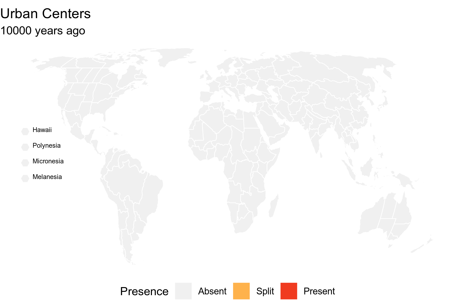
The results represent the first global inventory of archaeological research about how humans have impacted the Earth through hunting and gathering, raising livestock, and cultivating crops for millennia. Findings suggest that foraging was common around the world 10,000 years ago, raising livestock began 8,000 years ago (originating in Southwest Asia), and by 6,000 years ago agriculture was practiced in some form across nearly half of the world, becoming common by 3,000 years ago.
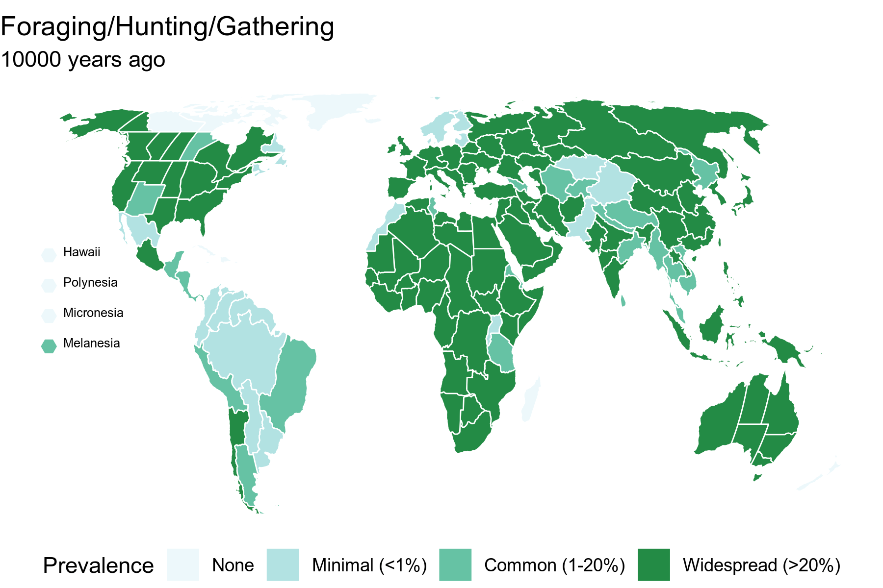
From this data the first global archaeological map of long-term changes in land use was created. “Human use of land created the transformed planet of the Anthropocene that we live in now, by driving species extinct, deforesting the planet, tilling Earth’s soils, and releasing carbon into the atmosphere, changing Earth’s climate,” explains Ellis.
Importantly, the research team found that these changes began earlier than other studies have reported. ArchaeoGLOBE brings clarity to this transformation by using archaeological expertise to map global land use, the underlying cause of these changes, past, present, and future.
Collaborative approach to research
Ellis and former UMBC post-doctoral fellow Lucas Stephens, current senior research analyst at the Environmental Law & Policy Center, led the process of analyzing data from the 250 archaeologists, with critical support from three undergraduate researchers. Alexa Thornton ‘18, environmental science and geography; Santiago Munevar Garcia ‘18, environmental science and geography; and Jeremy Powell ‘18, geography, made essential contributions to the work, focusing on geospatial analysis and mapping the data set.

Stephens recollects how challenging it was to collect a data set that would be a first approximation of the global history of land use. “Figuring out how to split the world up into analytical regions was a big challenge in and of itself. Clicking through an unsolicited email to participate in someone else’s project is a very generous act, so to receive over 700 contributions from over 250 archaeologists was fantastic,” remembers Stephens.
He notes that the response from the scholarly community was, “surprising and uplifting,” and he hopes this example will spur more synthetic research in the future.
“Our hope is that this is only the first achievement of what will become a new, massively collaborative scientific approach to understanding the global environmental changes caused by humans over the long term,” shares Ellis.
The ArchaeoGLOBE project was conducted in collaboration with the Global Land Programme. The Programme is scientific community promoting the study of land systems and the co-design of solutions for global sustainability. ArchaeoGLOBE is also an extension of the NSF-funded GLOBE (Global Collaboration Engine) project. GLOBE is a platform for researchers to share, compare, and integrate local and regional studies with global data, and to measure the global relevance of their research.
Learn more
Ellis will be speaking about Understanding Human Transformation of Earth at The Center for Social Science Scholarship on Wednesday, September 25, 2019 at noon in the Information/Technology building room 229.
The complete findings on this research can be found in the Science article “Archaeological assessment reveals Earth’s early transformation through land use.” Additional insights comparing previous mapping projects can be found in “Humans Dominated Earth Earlier Than Previously Thought” (The New York Times).
The Conversation published an article by Ellis and Stephens, as well as Ben Marwick of the University of Washington and Nicole Boivin of the Max Planck Institute, which reviews different points of view on the history of human impacts on the Earth. This piece has surpassed 120,000 views and has been republished by Popular Science, EcoWatch, ScienceAlert, EarthSky, and Live Science. (Click here for a complete list of media coverage.)
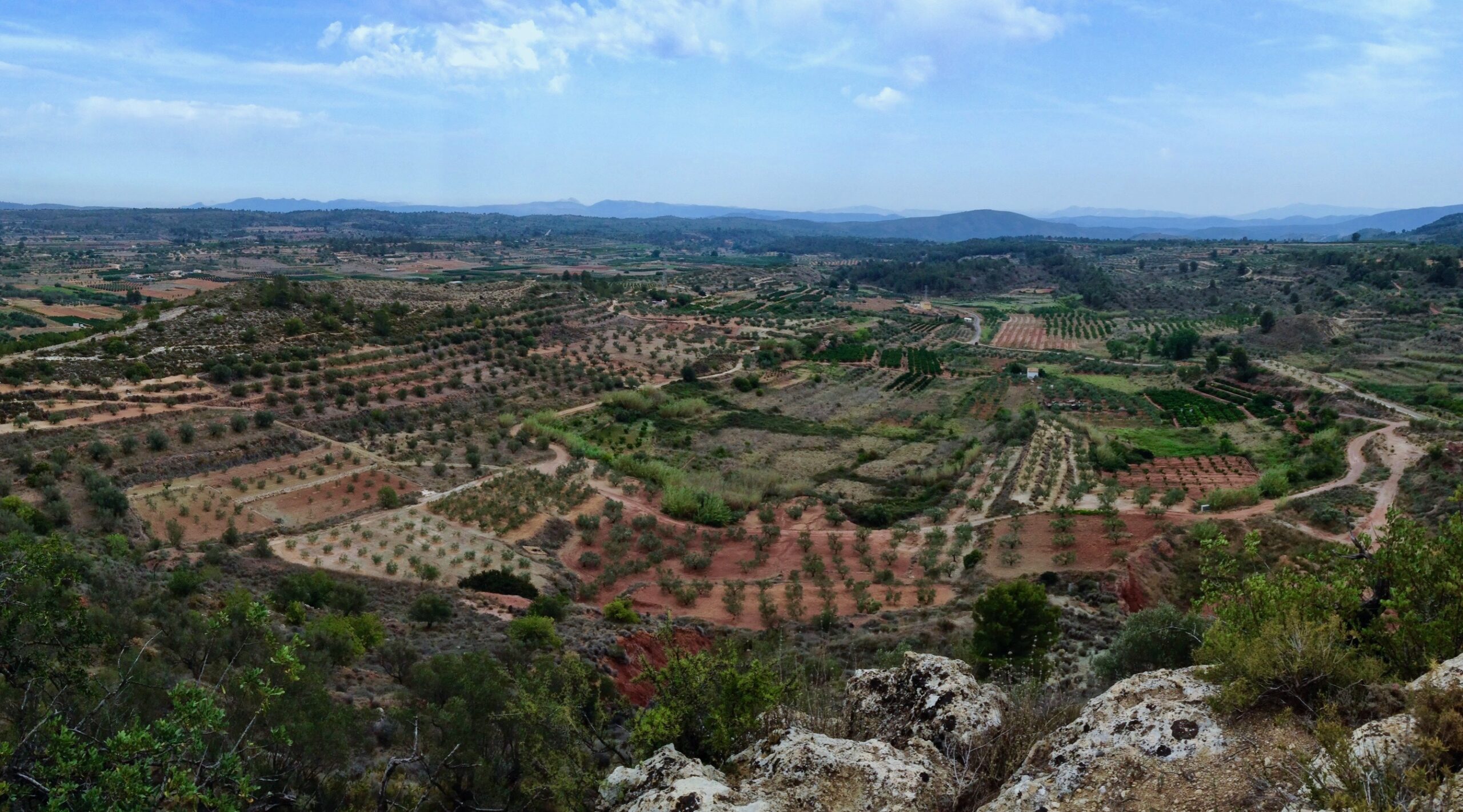
Banner image: Val de Navarrés, País Valenciano, Spain with permission from Michael Barton. All maps courtesy of Lucas Stephens.
Tags: CAHSS, GES, Research, Undergraduate Research